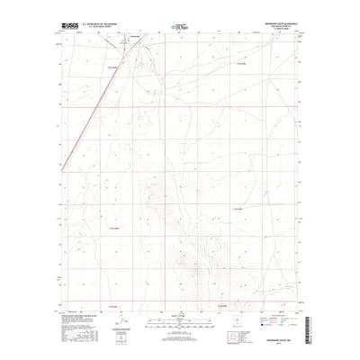
2017 Map of Orogrande South
USGS Topo · Published 2017About this map
Orogrande sits at the northern edge of this high desert landscape in Otero County, where a small grid of streets including Main St, Grace St, and Dutcher Ave marks the settlement's footprint. The terrain is characterized by sparse water sources and specialized access routes serving the surrounding arid expanse. Roads such as Oregrande Range Camp Rd and Co Rd A002 lead away from the town center into a landscape punctuated by isolated stock tanks.
Find a feature on this map
14 named features on this map. Tap any name to fly to it.
Don’t see what you’re looking for? This feature index may not catch every label — zoom into the map to look around manually.
Map Details
Editions of this 2017 Orogrande South Map
This is the sole edition of this map. No revisions or reprints were ever made.
Other maps of this area
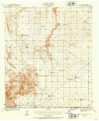
1940 · Bassett Lake
USGS Topo · 1:62,500
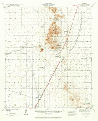
1940 · Orogrande
USGS Topo · 1:62,500
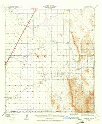
1941 · Desert
USGS Topo · 1:62,500
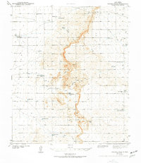
1943 · Pendejo Wash
USGS Topo · 1:62,500
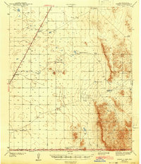
1943 · Desert
USGS Topo · 1:62,500
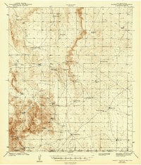
1943 · Bassett Lake
USGS Topo · 1:62,500
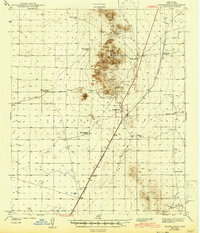
1943 · Orogrande
USGS Topo · 1:62,500
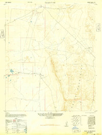
1947 · Desert NE
USGS Topo · 1:24,000
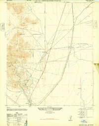
1947 · Orogrande North
USGS Topo · 1:24,000
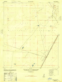
1948 · El Wood
USGS Topo · 1:24,000