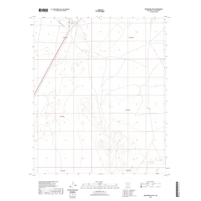
2020 Map of Orogrande South
USGS Topo · Published 2020About this map
Oregrande Range Camp Rd cuts through the desert landscape of Otero County, marking the transition from open terrain into a structured grid of streets in the northwest corner. This area, delineated by Main St, Nelle Ave, and Dutcher Ave, represents a small footprint of development within the expansive Public Land Survey System grids of t22s r8e and t23s r8e. The surrounding geography is defined by subtle elevation changes and the presence of Sulphur Tank, a solitary water feature located to the east. The map illustrates a region where military or government utility intersects with rural road networks like Grace St, providing a clear view of the land division and transportation corridors used in this portion of New Mexico.
Find a feature on this map
12 named features on this map. Tap any name to fly to it.
Don’t see what you’re looking for? This feature index may not catch every label — zoom into the map to look around manually.
Map Details
Editions of this 2020 Orogrande South Map
This is the sole edition of this map. No revisions or reprints were ever made.
Other maps of this area

1940 · Bassett Lake
USGS Topo · 1:62,500

1940 · Orogrande
USGS Topo · 1:62,500

1941 · Desert
USGS Topo · 1:62,500

1943 · Pendejo Wash
USGS Topo · 1:62,500

1943 · Desert
USGS Topo · 1:62,500

1943 · Bassett Lake
USGS Topo · 1:62,500

1943 · Orogrande
USGS Topo · 1:62,500

1947 · Desert NE
USGS Topo · 1:24,000

1947 · Orogrande North
USGS Topo · 1:24,000

1948 · El Wood
USGS Topo · 1:24,000