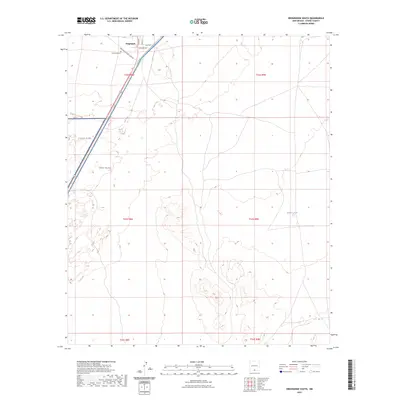
2023 Map of Orogrande South
USGS Topo · Published 2023About this map
Orogrande stands at the northern edge of this high-desert landscape in Otero County, positioned where local streets like Main St and Dutcher Ave meet the open basin. The town's historical roots are anchored by the Orogrande Cem, while its modern context is defined by the proximity of the Fort Bliss military reservation, which occupies a significant portion of the western terrain. The geography transitions from the settled grid of the town to the arid expanses of the Jarilla Mountains and the Tularosa Basin, where specialized landmarks like Sulphur Tank and the Oregrande Range Camp Rd indicate the area's functional role in range management and military operations. This 2023 survey illustrates the sparse but deliberate human footprint in an environment shaped by water scarcity and strategic land use.
Find a feature on this map
16 named features on this map. Tap any name to fly to it.
Don’t see what you’re looking for? This feature index may not catch every label — zoom into the map to look around manually.
Map Details
Editions of this 2023 Orogrande South Map
This is the sole edition of this map. No revisions or reprints were ever made.
Other maps of this area

1940 · Bassett Lake
USGS Topo · 1:62,500

1940 · Orogrande
USGS Topo · 1:62,500

1941 · Desert
USGS Topo · 1:62,500

1943 · Pendejo Wash
USGS Topo · 1:62,500

1943 · Desert
USGS Topo · 1:62,500

1943 · Bassett Lake
USGS Topo · 1:62,500

1943 · Orogrande
USGS Topo · 1:62,500

1947 · Desert NE
USGS Topo · 1:24,000

1947 · Orogrande North
USGS Topo · 1:24,000

1948 · El Wood
USGS Topo · 1:24,000