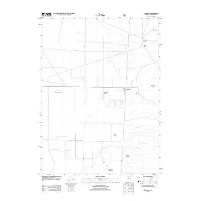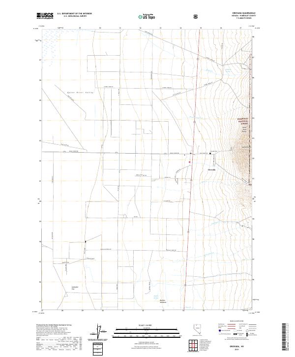
2021 Map of Orovada
USGS Topo · Published 2021About this map
The Quinn River Valley defines this section of northern Nevada, where high-desert agriculture meets the rising slopes of the Santa Rosa Range. The settlement of Orovada serves as the focal point, situated at a vital junction of rural routes like Kings River Rd and Old Hwy 95. This map detail reveals the importance of water management in a desert landscape, evidenced by the numerous named drainages such as Rebel Cr, Rock Cr, and McConnell Cr that flow toward the valley floor.
Find a feature on this map
47 named features on this map. Tap any name to fly to it.
Don’t see what you’re looking for? This feature index may not catch every label — zoom into the map to look around manually.
Map Details
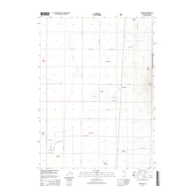
Editions of this 2021 Orovada Map
This is the sole edition of this map. No revisions or reprints were ever made.
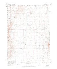
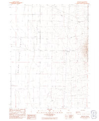
Historical Maps of Orovada Through Time
6 maps found