Loading...
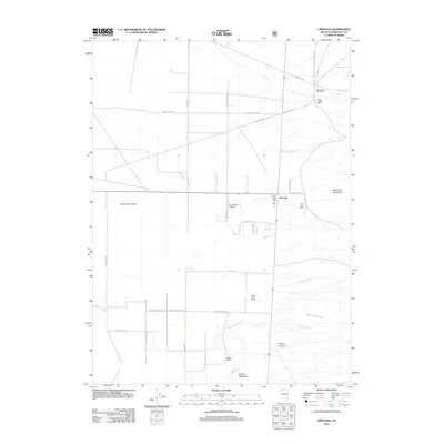
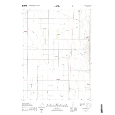
Loading map...1991 Map of Orovada
USGS Topo · Published 1991About this map
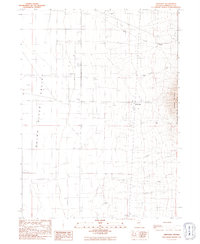
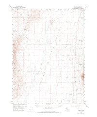
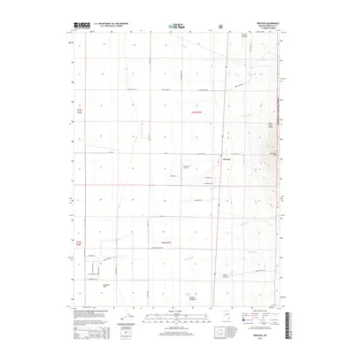
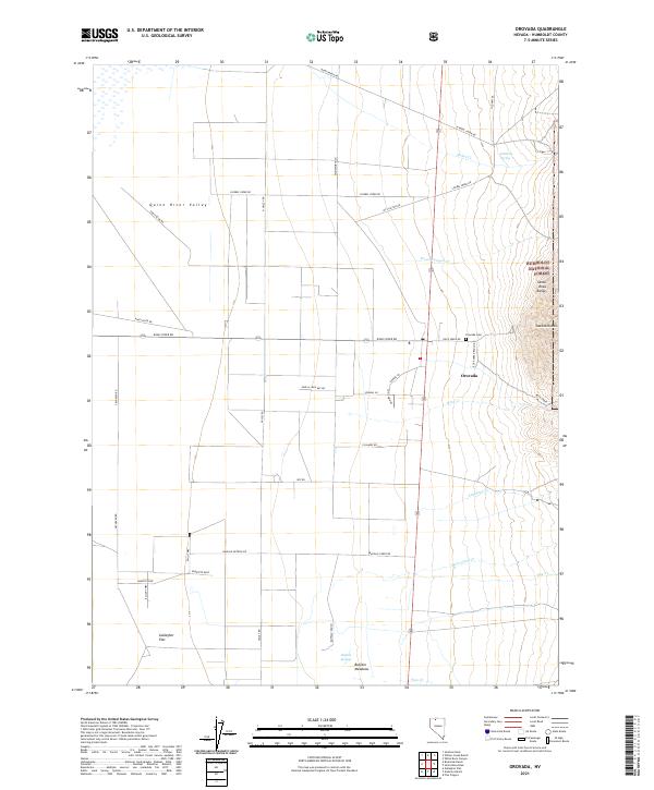
The Quinn River Valley serves as the focal point of this arid agricultural and ranching landscape in northern Nevada. By the late twentieth century, the small settlement of Orovada anchored a network of scattered ranching outposts, including Rebel Creek Ranch and Buffalo Ranch, positioned where desert drainages like Rebel Creek and Wood Canyon Creek emerge from the slopes of Sawtooth Mountain.
Find a feature on this map
29 named features on this map. Tap any name to fly to it.
Don’t see what you’re looking for? This feature index may not catch every label — zoom into the map to look around manually.
Map Details
Date Portrayed1991
Date Published1991
PublisherU.S. Geological Survey
Map TypeTopographic
Scale1:24,000
Physical Dimensions22 x 26.8 inches
Editions of this 1991 Orovada Map
This is the sole edition of this map. No revisions or reprints were ever made.
Historical Maps of Orovada Through Time
6 maps found
Featured Locations
Source Details
SourceU.S. Geological Survey
CopyrightPublic Domain