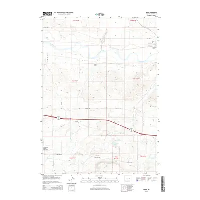
2015 Map of Orpha
USGS Topo · Published 2015About this map
The North Platte River winds through this landscape near the settlement of Orpha, where the high plains meet the intricate drainage systems of Alkali Gulch and Fetterman Cr. The map highlights a transition from the river valley to the elevated terrain of Table Mtn in the south. This area is characterized by scattered ranching infrastructure and localized water management, evidenced by Nichols Reservoir Number 2 and Moore Reservoir. Transportation routes like Inez Rd and the storied Cherokee Trl cross the township lines, reflecting the long history of movement across this portion of Converse County. Unique landmarks such as Infant Geyser and private aviation sites like Chamberlain Brothers Ranch Airport point to the specific geological and economic activities of the region in the mid-2010s.
Find a feature on this map
31 named features on this map. Tap any name to fly to it.
Don’t see what you’re looking for? This feature index may not catch every label — zoom into the map to look around manually.
Map Details
Editions of this 2015 Orpha Map
This is the sole edition of this map. No revisions or reprints were ever made.
Other maps of this area

1949 · Sundquist Ranch
USGS Topo · 1:24,000

1949 · Orpha
USGS Topo · 1:24,000

1949 · Careyhurst
USGS Topo · 1:24,000

1949 · Gilbert Lake
USGS Topo · 1:24,000

1949 · Douglas
USGS Topo · 1:24,000

1949 · Leuenberger Ranch
USGS Topo · 1:24,000

1949 · Chalk Buttes
USGS Topo · 1:24,000

1950 · Careyhurst
USGS Topo · 1:24,000

1950 · Gilbert Lake
USGS Topo · 1:24,000

1950 · Leuenberger Ranch
USGS Topo · 1:24,000