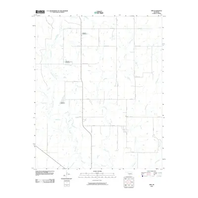
2009 Map of Orr
USGS Topo · Published 2009About this map
Mud Creek and its tributary North Mud Creek define the drainage of this rural landscape in southwestern Oklahoma. The area is marked by a network of sectional roads and small-scale water management projects, including several numbered structures such as Oknoname 067009 Dam and Oknoname 067010 Dam. These features illustrate the local efforts to manage runoff across the rolling ranchland and agricultural fields.
Find a feature on this map
37 named features on this map. Tap any name to fly to it.
Don’t see what you’re looking for? This feature index may not catch every label — zoom into the map to look around manually.
Map Details
Editions of this 2009 Orr Map
This is the sole edition of this map. No revisions or reprints were ever made.
Other maps of this area

1901 · Addington
USGS Topo · 1:125,000

1901 · Ardmore
USGS Topo · 1:125,000

1902 · Gainesville
USGS Topo · 1:125,000

1905 · Montague
USGS Topo · 1:125,000

1918 · Ardmore
USGS Topo · 1:125,000

1943 · Gainesville
USGS Topo · 1:125,000

1954 · Sherman
USGS Topo · 1:250,000

1957 · Ardmore
USGS Topo · 1:250,000

1958 · Sherman
USGS Topo · 1:250,000

1963 · Ardmore
USGS Topo · 1:250,000