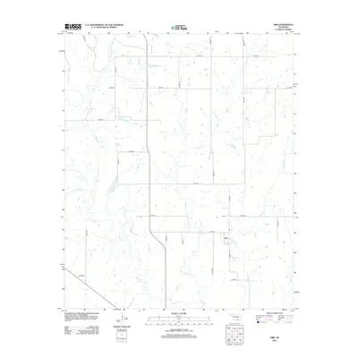
2012 Map of Orr
USGS Topo · Published 2012About this map
The small settlement of Orr sits at the intersection of a rural road network in southwestern Love County, Oklahoma. This landscape is defined by its intricate drainage patterns, with Mud Creek and its northern branch, North Mud Creek, winding through the western portion of the quadrangle. To the east, Clear Creek and Sparks Branch feed into Sandy Creek, illustrating the natural watercourses that shaped local land use and ranching boundaries. Genealogists and local historians will find the Orr Cemetery positioned just north of the town center, a key landmark for tracing family roots in this corner of the state. The map reveals a strictly gridded road system, including Orr Road and various section-line routes like E2050 Road, which provide access to the dispersed farmsteads and agricultural properties typical of the region.
Find a feature on this map
28 named features on this map. Tap any name to fly to it.
Don’t see what you’re looking for? This feature index may not catch every label — zoom into the map to look around manually.
Map Details
Editions of this 2012 Orr Map
This is the sole edition of this map. No revisions or reprints were ever made.
Other maps of this area

1901 · Addington
USGS Topo · 1:125,000

1901 · Ardmore
USGS Topo · 1:125,000

1902 · Gainesville
USGS Topo · 1:125,000

1905 · Montague
USGS Topo · 1:125,000

1918 · Ardmore
USGS Topo · 1:125,000

1943 · Gainesville
USGS Topo · 1:125,000

1954 · Sherman
USGS Topo · 1:250,000

1957 · Ardmore
USGS Topo · 1:250,000

1958 · Sherman
USGS Topo · 1:250,000

1963 · Ardmore
USGS Topo · 1:250,000