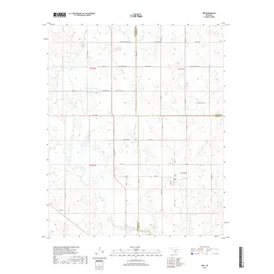
2018 Map of Orr
USGS Topo · Published 2018About this map
The unincorporated community of Orr sits at a geographic crossroads where Love, Carter, and Jefferson counties meet in southern Oklahoma. This 2018 survey illustrates a transition from the agricultural plateaus to the north down toward the winding drainage of Mud Creek and its many tributaries. The area is characterized by its rural section-line road network, including notable local thoroughfares like J Q Porter Blvd and Wade Parker Eubanks Blvd, which connect scattered residences and homesteads. Local history and genealogy are centered around the Orr Cemetery, while the landscape is dotted with water management features such as 067008 Reservoir. The intricate hydrography of the region is further defined by the paths of Clear Creek and Sparks Branch, showing the natural drainage patterns that have shaped land use in this tri-county border area for generations.
Find a feature on this map
50 named features on this map. Tap any name to fly to it.
Don’t see what you’re looking for? This feature index may not catch every label — zoom into the map to look around manually.
Map Details
Editions of this 2018 Orr Map
This is the sole edition of this map. No revisions or reprints were ever made.
Other maps of this area
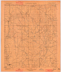
1901 · Addington
USGS Topo · 1:125,000
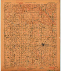
1901 · Ardmore
USGS Topo · 1:125,000
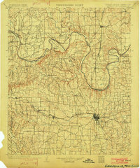
1902 · Gainesville
USGS Topo · 1:125,000
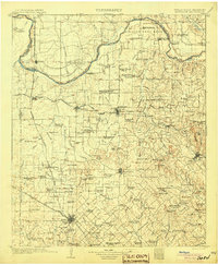
1905 · Montague
USGS Topo · 1:125,000
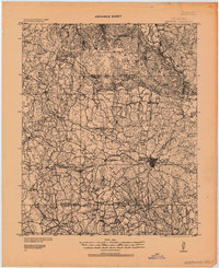
1918 · Ardmore
USGS Topo · 1:125,000
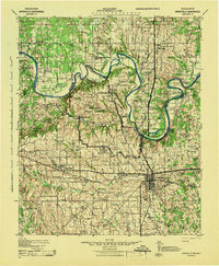
1943 · Gainesville
USGS Topo · 1:125,000
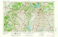
1954 · Sherman
USGS Topo · 1:250,000
1957 · Ardmore
USGS Topo · 1:250,000
1958 · Sherman
USGS Topo · 1:250,000
1963 · Ardmore
USGS Topo · 1:250,000