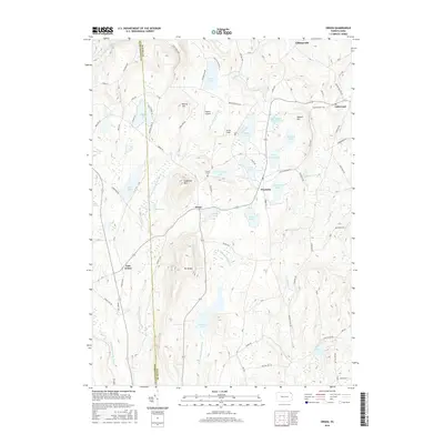
2016 Map of Orson
USGS Topo · Published 2016About this map
Mt Ararat and Sugarloaf Mtn dominate the high ground along the border of Wayne and Susquehanna counties, where the headwaters of the West Branch Lackawanna River and East Branch Lackawanna River emerge. This upland landscape is defined by its glacial lakes and high-altitude settlements like Orson, Poyntelle, and East Ararat. The network of local roads such as Leech Creek Road and Wrighter Lake Road connects scattered farmsteads and rural homesites across the plateau.
Find a feature on this map
80 named features on this map. Tap any name to fly to it.
Don’t see what you’re looking for? This feature index may not catch every label — zoom into the map to look around manually.
Map Details
Editions of this 2016 Orson Map
This is the sole edition of this map. No revisions or reprints were ever made.
Other maps of this area

1892 · Honesdale
USGS Topo · 1:62,500

1892 · Dundaff
USGS Topo · 1:62,500

1924 · Starrucca
USGS Topo · 1:48,000

1926 · Starrucca
USGS Topo · 1:62,500

1930 · Starrucca
USGS Topo · 1:48,000

1932 · Susquehanna
USGS Topo · 1:62,500

1933 · Starrucca
USGS Topo · 1:62,500

1935 · Susquehanna
USGS Topo · 1:62,500

1943 · Honesdale
USGS Topo · 1:125,000

1946 · Forest City
USGS Topo · 1:24,000
Featured Places
- Ararat Township, PA
- Preston Township, PA
- Thompson Township, PA
- Mount Pleasant Township, PA
- Herrick Township, PA