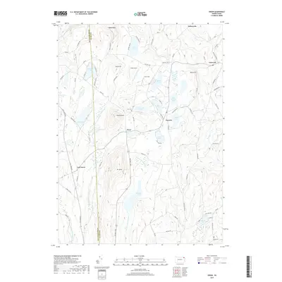
2019 Map of Orson
USGS Topo · Published 2019About this map
Mt Ararat and Sugarloaf Mtn dominate the northern Susquehanna County landscape, where the headwaters of several major regional drainage systems emerge. The area is defined by a dense network of glacial lakes and ponds, including Belmont Lake, Wrighter Lake, and Little Hickory Lake. The settlement of Orson serves as a central hub, flanked by the Orson Cem and local aviation markers like Boden Airport and Orson Field. This high-plateau geography shows a distinct transition from the steep elevations around Nettle Hill to the valley settlements of Starrucca and Lakewood. Historically significant travel routes like the Belmont Tpke intersect with rural connectors such as Still Water Rd, illustrating a longstanding reliance on the natural gap between the peaks for transport and communication between the scattered mountain communities.
Find a feature on this map
104 named features on this map. Tap any name to fly to it.
Don’t see what you’re looking for? This feature index may not catch every label — zoom into the map to look around manually.
Map Details
Editions of this 2019 Orson Map
This is the sole edition of this map. No revisions or reprints were ever made.
Other maps of this area

1892 · Honesdale
USGS Topo · 1:62,500

1892 · Dundaff
USGS Topo · 1:62,500

1924 · Starrucca
USGS Topo · 1:48,000

1926 · Starrucca
USGS Topo · 1:62,500

1930 · Starrucca
USGS Topo · 1:48,000

1932 · Susquehanna
USGS Topo · 1:62,500

1933 · Starrucca
USGS Topo · 1:62,500

1935 · Susquehanna
USGS Topo · 1:62,500

1943 · Honesdale
USGS Topo · 1:125,000

1946 · Forest City
USGS Topo · 1:24,000
Featured Places
- Ararat Township, PA
- Preston Township, PA
- Thompson Township, PA
- Mount Pleasant Township, PA
- Herrick Township, PA