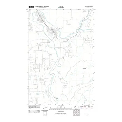
2011 Map of Orting
USGS Topo · Published 2011About this map
Orting serves as the focal point of this Pierce County survey, situated where the Carbon River and Puyallup River converge. The layout reveals a community structured around both its riverine geography and a developing grid of eastern county roads. Significant local landmarks include the Orting Cemetery and the Puyallup River Fish Hatchery, while the outskirts are marked by the presence of Kapowsin Field and the small settlement of Tanwax to the southwest.
Find a feature on this map
61 named features on this map. Tap any name to fly to it.
Don’t see what you’re looking for? This feature index may not catch every label — zoom into the map to look around manually.
Map Details
Editions of this 2011 Orting Map
This is the sole edition of this map. No revisions or reprints were ever made.
Other maps of this area

1897 · Tacoma
USGS Topo · 1:125,000

1900 · Tacoma
USGS Topo · 1:125,000

1937 · Eatonville
USGS Topo · 1:125,000

1941 · Tanwax Lake
USGS Topo · 1:62,500

1941 · Tacoma South
USGS Topo · 1:62,500

1942 · Lake Tapps
USGS Topo · 1:62,500

1944 · Lake Tapps
USGS Topo · 1:62,500

1944 · Tacoma South
USGS Topo · 1:62,500

1944 · Ohop Valley
USGS Topo · 1:62,500

1949 · Ohop Valley
USGS Topo · 1:62,500