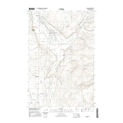
2017 Map of Orting
USGS Topo · Published 2017About this map
The Puyallup River and Carbon River converge near Orting, shaping a landscape defined by the broad Puyallup Valley. This 2017 survey shows the intricate residential expansion of South Hill and the established street grids of McMillin and Crocker. Significant local landmarks include the Orting Cem and the Soldiers Pond, while the southern reaches of the map transition into the elevations of Spar Pole Hill.
Find a feature on this map
131 named features on this map. Tap any name to fly to it.
Don’t see what you’re looking for? This feature index may not catch every label — zoom into the map to look around manually.
Map Details
Editions of this 2017 Orting Map
This is the sole edition of this map. No revisions or reprints were ever made.
Other maps of this area

1897 · Tacoma
USGS Topo · 1:125,000

1900 · Tacoma
USGS Topo · 1:125,000

1937 · Eatonville
USGS Topo · 1:125,000

1941 · Tanwax Lake
USGS Topo · 1:62,500

1941 · Tacoma South
USGS Topo · 1:62,500

1942 · Lake Tapps
USGS Topo · 1:62,500

1944 · Lake Tapps
USGS Topo · 1:62,500

1944 · Tacoma South
USGS Topo · 1:62,500

1944 · Ohop Valley
USGS Topo · 1:62,500

1949 · Ohop Valley
USGS Topo · 1:62,500