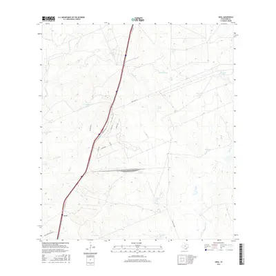
2016 Map of Orvil
USGS Topo · Published 2016About this map
Orvil anchors the western edge of this 2016 survey, sitting at a junction where the I-35 Frontage Rd meets the developing industrial corridors of Webb County. The landscape here is defined by a sophisticated system of water management, evidenced by numerous named stock tanks such as Calabaza Tank, Cerritos Tank, and Deer Trap Tank, which punctuate the arid terrain between drainage systems like Sombrerito Cr and Chacon Cr.
Find a feature on this map
27 named features on this map. Tap any name to fly to it.
Don’t see what you’re looking for? This feature index may not catch every label — zoom into the map to look around manually.
Map Details
Editions of this 2016 Orvil Map
This is the sole edition of this map. No revisions or reprints were ever made.
Other maps of this area

1956 · Las Tiendas
USGS Topo · 1:62,500

1956 · Islitas
USGS Topo · 1:62,500

1956 · Laredo East
USGS Topo · 1:62,500

1956 · Webb
USGS Topo · 1:62,500

1956 · Laredo
USGS Topo · 1:250,000

1965 · Laredo West
USGS Topo · 1:24,000

1965 · Orvil
USGS Topo · 1:24,000

1965 · Cuervo Creek
USGS Topo · 1:24,000

1965 · Cibolo Ranch
USGS Topo · 1:24,000

1965 · Nido Ranch
USGS Topo · 1:24,000