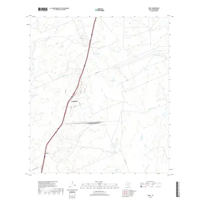
2019 Map of Orvil
USGS Topo · Published 2019About this map
The northern reaches of Laredo and the small settlement of Orvil anchor this study of modern industrial development in Webb County. The landscape is defined by a dense network of logistics-focused infrastructure, including Killam Industrial Blvd, Regional Dr, and Carriers Dr, reflecting the city's role as a primary international trade gateway. This expansion into the scrubland contrasts sharply with the traditional ranching heritage evidenced by numerous water catchments like Cerritos Tank, Tortuga Tank, and La Presa Grande. The terrain is drained by the winding courses of Sombrerito Cr and Chacon Cr, which navigate the space between newer commercial developments and the established rural tracts. Interstate 35 and the I-35 Frontage Rd serve as the central artery, illustrating the corridor's evolution from open range to a significant commercial and transportation hub.
Find a feature on this map
26 named features on this map. Tap any name to fly to it.
Don’t see what you’re looking for? This feature index may not catch every label — zoom into the map to look around manually.
Map Details
Editions of this 2019 Orvil Map
This is the sole edition of this map. No revisions or reprints were ever made.
Other maps of this area
1956 · Las Tiendas
USGS Topo · 1:62,500
1956 · Islitas
USGS Topo · 1:62,500
1956 · Laredo East
USGS Topo · 1:62,500
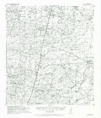
1956 · Webb
USGS Topo · 1:62,500
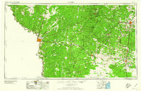
1956 · Laredo
USGS Topo · 1:250,000
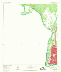
1965 · Laredo West
USGS Topo · 1:24,000
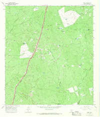
1965 · Orvil
USGS Topo · 1:24,000
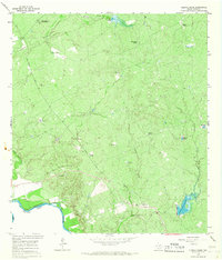
1965 · Cuervo Creek
USGS Topo · 1:24,000
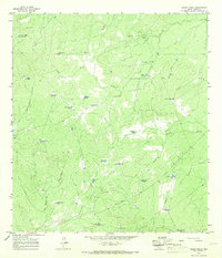
1965 · Cibolo Ranch
USGS Topo · 1:24,000
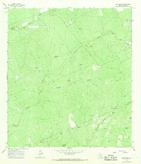
1965 · Nido Ranch
USGS Topo · 1:24,000