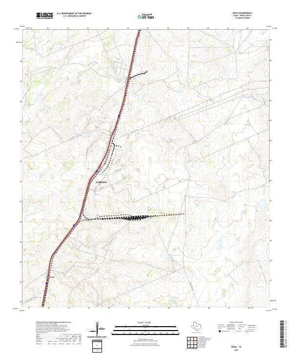
2022 Map of Orvil
USGS Topo · Published 2022About this map
Laredo's industrial and commercial expansion north along the Interstate 35 corridor is a primary focus of this modern topographical survey. The map details the transition from rural Webb County ranchland to a growing logistics hub, evidenced by the presence of Killam Industrial Blvd and Port Dr. Despite this development, the landscape remains punctuated by traditional water management features essential to South Texas ranching. Numerous tanks, such as La Presa Grande and Cerritos Tank, are scattered across the brushland, marking the locations of vital water sources for livestock. To the east, the drainage of Chacon Cr and Sombrerito Cr provides a natural contrast to the grid-like infrastructure appearing near the settlement of Orvil. The proximity of roads like Ranch Rd 6174A suggests the ongoing integration of remote ranch properties into the larger infrastructure of the border region.
Find a feature on this map
27 named features on this map. Tap any name to fly to it.
Don’t see what you’re looking for? This feature index may not catch every label — zoom into the map to look around manually.
Map Details
Editions of this 2022 Orvil Map
This is the sole edition of this map. No revisions or reprints were ever made.
Other maps of this area

1956 · Las Tiendas
USGS Topo · 1:62,500

1956 · Islitas
USGS Topo · 1:62,500

1956 · Laredo East
USGS Topo · 1:62,500

1956 · Webb
USGS Topo · 1:62,500

1956 · Laredo
USGS Topo · 1:250,000

1965 · Laredo West
USGS Topo · 1:24,000

1965 · Orvil
USGS Topo · 1:24,000

1965 · Cuervo Creek
USGS Topo · 1:24,000

1965 · Cibolo Ranch
USGS Topo · 1:24,000

1965 · Nido Ranch
USGS Topo · 1:24,000