
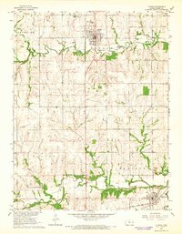
2009 Map of Osage City
USGS Topo · Published 2009About this map
Osage City serves as the southern anchor of this landscape, where the local street grid transitions into the broad agricultural plains of the Flint Hills region. The area is defined by a dense network of watercourses, including the winding Dragoon Creek and Switzler Creek, which carve through the terrain north toward Burlingame. Small communities like Peterton are situated along the north-south transport corridor of S Burlingame Rd, reflecting the historical settlement patterns tied to early prairie transit and the local coal industry.
Find a feature on this map
61 named features on this map. Tap any name to fly to it.
Don’t see what you’re looking for? This feature index may not catch every label — zoom into the map to look around manually.
Map Details
Editions of this 2009 Osage City Map
This is the sole edition of this map. No revisions or reprints were ever made.
Other maps of this area

1889 · Burlingame
USGS Topo · 1:125,000

1894 · Burlingame
USGS Topo · 1:125,000

1947 · Lawrence
USGS Topo · 1:250,000

1950 · Lawrence
USGS Topo · 1:250,000

1952 · Harveyville
USGS Topo · 1:24,000

1952 · Burlingame
USGS Topo · 1:24,000

1955 · Carbondale
USGS Topo · 1:24,000

1956 · Lawrence
USGS Topo · 1:250,000

1961 · Lawrence
USGS Topo · 1:250,000
1965 · Lyndon
USGS Topo · 1:24,000