
1955 Map of Carbondale
USGS Topo · Published 1956About this map
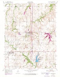
Atchison Topeka and Santa Fe rails cut through the heart of the eastern Kansas landscape, connecting the coal-rich soils of Ridgeway and Scranton townships. This mid-century view reveals a transition in rural land use, where local education centers like the Shawnee Center Sch were already marked as abandoned, while the newer Osage County State Park was establishing itself around Osage County Lake.
Find a feature on this map
32 named features on this map. Tap any name to fly to it.
Don’t see what you’re looking for? This feature index may not catch every label — zoom into the map to look around manually.
Map Details
Editions of this 1955 Carbondale Map
3 editions found
Other maps of this area

1889 · Burlingame
USGS Topo · 1:125,000

1894 · Burlingame
USGS Topo · 1:125,000

1947 · Lawrence
USGS Topo · 1:250,000

1950 · Lawrence
USGS Topo · 1:250,000

1952 · Auburn
USGS Topo · 1:24,000

1952 · Burlingame
USGS Topo · 1:24,000
1955 · Wakarusa
USGS Topo · 1:24,000

1955 · Overbrook
USGS Topo · 1:24,000
1955 · Richland
USGS Topo · 1:24,000

1956 · Lawrence
USGS Topo · 1:250,000