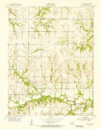
1955 Map of Richland
USGS Topo · Published 1956About this map
The Wakarusa River carves a deep valley through the southern half of this mid-century survey, defining the agricultural landscape of Monmouth and Tecumseh townships. The village of Richland serves as the local hub near the riverbanks, anchored by the Richland Cem and the Missouri Pacific railroad line that follows the valley floor. Further north, the upland prairie is dotted with institutional landmarks of rural life, including Salem Ch, Pleasant Hill Ch, and several country schools.
Find a feature on this map
23 named features on this map. Tap any name to fly to it.
Don’t see what you’re looking for? This feature index may not catch every label — zoom into the map to look around manually.
Map Details
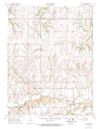
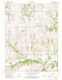
Editions of this 1955 Richland Map
3 editions found
Other maps of this area

1885 · Lawrence
USGS Topo · 1:125,000

1886 · Oskaloosa
USGS Topo · 1:125,000

1888 · Oskaloosa
USGS Topo · 1:125,000

1889 · Burlingame
USGS Topo · 1:125,000

1889 · Topeka
USGS Topo · 1:125,000

1889 · Lawrence
USGS Topo · 1:125,000

1894 · Burlingame
USGS Topo · 1:125,000

1894 · Oskaloosa
USGS Topo · 1:125,000

1894 · Topeka
USGS Topo · 1:125,000

1947 · Lawrence
USGS Topo · 1:250,000