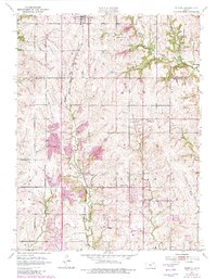
1952 Map of Elmont
USGS Topo · Published 1982About this map
The Potawatomi Indian Reservation boundary defines the western landscape of this Shawnee County region, where the prairie meets the wooded drainage of the Halfday Creek valley. Settled life centers around the village of Elmont and the town of Hoyt, both situated along the Chicago Rock Island and Pacific railroad line. This transportation corridor was central to the area's development, connecting local farmers and the Quarry operations to broader markets.
Find a feature on this map
22 named features on this map. Tap any name to fly to it.
Don’t see what you’re looking for? This feature index may not catch every label — zoom into the map to look around manually.
Map Details
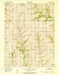
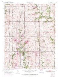
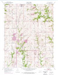
Editions of this 1952 Elmont Map
5 editions found
Other maps of this area

1889 · Topeka
USGS Topo · 1:125,000

1894 · Topeka
USGS Topo · 1:125,000

1950 · Kansas City
USGS Topo · 1:250,000

1950 · Topeka
USGS Topo · 1:24,000

1950 · Grantville
USGS Topo · 1:24,000

1951 · Grantville
USGS Topo · 1:24,000

1951 · Topeka
USGS Topo · 1:24,000

1952 · Silver Lake
USGS Topo · 1:24,000

1952 · Elmont
USGS Topo · 1:24,000

1952 · Grove
USGS Topo · 1:24,000