
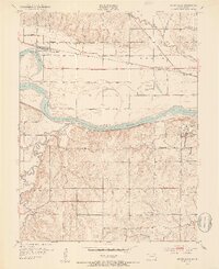
1952 Map of Silver Lake
USGS Topo · Published 1953About this map
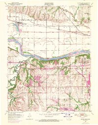
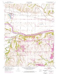
Silver Lake and the fertile bottomlands along the Kansas River define this mid-century landscape in Shawnee County. The map captures a moment when the Union Pacific and Chicago Rock Island and Pacific railroads dominated transport, supported by a network of local stops like Kiro and Menoken. Extensive levee systems protect the flat agricultural reaches north of the river, while the terrain grows more complex to the south near Hickory Knob.
Find a feature on this map
32 named features on this map. Tap any name to fly to it.
Don’t see what you’re looking for? This feature index may not catch every label — zoom into the map to look around manually.
Map Details
Editions of this 1952 Silver Lake Map
4 editions found
Other maps of this area

1889 · Burlingame
USGS Topo · 1:125,000

1889 · Topeka
USGS Topo · 1:125,000

1894 · Burlingame
USGS Topo · 1:125,000

1894 · Topeka
USGS Topo · 1:125,000

1947 · Lawrence
USGS Topo · 1:250,000

1950 · Kansas City
USGS Topo · 1:250,000

1950 · Lawrence
USGS Topo · 1:250,000

1950 · Topeka
USGS Topo · 1:24,000

1951 · Topeka
USGS Topo · 1:24,000

1952 · Auburn
USGS Topo · 1:24,000