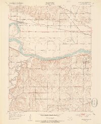
1952 Map of Silver Lake
USGS Topo · Published 1953About this map
The Kansas River carves a broad valley through Shawnee County, defined by a complex network of levies and rail corridors. In the early 1950s, the landscape around the town of Silver Lake reveals a transition from traditional agricultural life to mid-century development. While schools like Golden Rule Sch and Wanaker Sch serve the rural townships, modern infrastructure appears in the form of the Radio Station (WIBW) and the Drive-In Theater near the river’s south bank.
Find a feature on this map
33 named features on this map. Tap any name to fly to it.
Don’t see what you’re looking for? This feature index may not catch every label — zoom into the map to look around manually.
Map Details
Editions of this 1952 Silver Lake Map
4 editions found

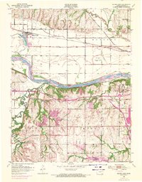
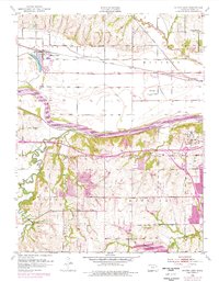
Other maps of this area

1889 · Burlingame
USGS Topo · 1:125,000

1889 · Topeka
USGS Topo · 1:125,000

1894 · Burlingame
USGS Topo · 1:125,000

1894 · Topeka
USGS Topo · 1:125,000

1947 · Lawrence
USGS Topo · 1:250,000

1950 · Kansas City
USGS Topo · 1:250,000

1950 · Lawrence
USGS Topo · 1:250,000

1950 · Topeka
USGS Topo · 1:24,000

1951 · Topeka
USGS Topo · 1:24,000

1952 · Auburn
USGS Topo · 1:24,000