
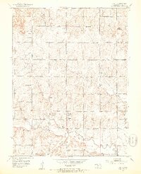
1952 Map of Auburn
USGS Topo · Published 1953About this map
Auburn serves as the focal point of this mid-century survey, situated at the confluence where the South Branch Wakarusa River meets the main Wakarusa River. The landscape reflects a well-established rural social structure, evidenced by the high density of country schoolhouses like Vidette Sch, Lone Tree Sch, and Independence Sch scattered across the township boundaries of Dover and Mission.
Find a feature on this map
18 named features on this map. Tap any name to fly to it.
Don’t see what you’re looking for? This feature index may not catch every label — zoom into the map to look around manually.
Map Details
Editions of this 1952 Auburn Map
4 editions found
Other maps of this area

1889 · Burlingame
USGS Topo · 1:125,000

1889 · Topeka
USGS Topo · 1:125,000

1894 · Burlingame
USGS Topo · 1:125,000

1894 · Topeka
USGS Topo · 1:125,000

1947 · Lawrence
USGS Topo · 1:250,000

1950 · Kansas City
USGS Topo · 1:250,000

1950 · Lawrence
USGS Topo · 1:250,000

1950 · Topeka
USGS Topo · 1:24,000

1951 · Topeka
USGS Topo · 1:24,000

1952 · Silver Lake
USGS Topo · 1:24,000