
1950 Map of Topeka
USGS Topo · Published 1960About this map
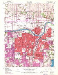
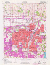
Topeka serves as the focal point of this 1950s study, revealing a dense urban core concentrated south of the Kansas River. The map captures the city's institutional landscape, featuring major facilities like the Winter Veterans Hospital, the State Hospital, and the sprawling campus of Washburn University. To the north, the Old Indian Bdy and Reservation Boundary markers underscore the area's complex history of land tenure. Industrial and transport infrastructure is highly visible, with the Atchison Topeka and Santa Fe and Union Pacific railroads converging near the river, while the Municipal Airport and Topeka Airport anchor the eastern and northern peripheries. Local landmarks such as Burnett Mound provide topographic context against the residential growth in Highland Park and Oakland.
Find a feature on this map
89 named features on this map. Tap any name to fly to it.
Don’t see what you’re looking for? This feature index may not catch every label — zoom into the map to look around manually.
Map Details
Editions of this 1950 Topeka Map
Other maps of this area

1889 · Burlingame
USGS Topo · 1:125,000

1889 · Topeka
USGS Topo · 1:125,000

1894 · Burlingame
USGS Topo · 1:125,000

1894 · Topeka
USGS Topo · 1:125,000

1947 · Lawrence
USGS Topo · 1:250,000

1950 · Kansas City
USGS Topo · 1:250,000

1950 · Lawrence
USGS Topo · 1:250,000

1950 · Grantville
USGS Topo · 1:24,000

1951 · Grantville
USGS Topo · 1:24,000

1951 · Topeka
USGS Topo · 1:24,000