
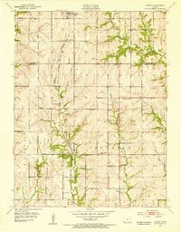
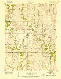
1952 Map of Elmont
USGS Topo · Published 1953About this map
The Potawatomi Old Reservation Boundary East runs vertically through this rural landscape north of Topeka, marking a significant historical line in the transition from indigenous lands to settled Kansas townships. The agricultural character of the area in the early 1950s is defined by a dense network of one-room schoolhouses such as South Hoyt Sch and Capitol View Sch, alongside community focal points like the Pleasant Hill Ch.
Find a feature on this map
24 named features on this map. Tap any name to fly to it.
Don’t see what you’re looking for? This feature index may not catch every label — zoom into the map to look around manually.
Map Details
Editions of this 1952 Elmont Map
5 editions found
Other maps of this area

1889 · Topeka
USGS Topo · 1:125,000

1894 · Topeka
USGS Topo · 1:125,000

1950 · Kansas City
USGS Topo · 1:250,000

1950 · Topeka
USGS Topo · 1:24,000

1950 · Grantville
USGS Topo · 1:24,000

1951 · Grantville
USGS Topo · 1:24,000

1951 · Topeka
USGS Topo · 1:24,000

1952 · Silver Lake
USGS Topo · 1:24,000

1952 · Grove
USGS Topo · 1:24,000
1952 · Meriden
USGS Topo · 1:24,000