
1952 Map of Grove
USGS Topo · Published 1953About this map
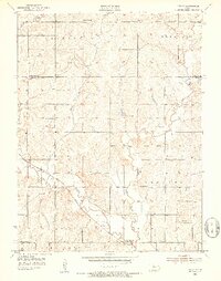
Soldier Creek winds through the heart of the Shawnee County countryside, defining a landscape of small agricultural districts and rural schoolhouses in the early 1950s. The settlement of Grove sits at the intersection of local routes, while the Union Pacific railroad tracks cut a diagonal path through the southern sections of the township. This period of Kansas history is reflected in the dense network of country schools, including Capitol View Sch, Woburn Sch, and Golden Rod Sch, which served as the primary social and educational anchors for dispersed farmsteads.
Find a feature on this map
22 named features on this map. Tap any name to fly to it.
Don’t see what you’re looking for? This feature index may not catch every label — zoom into the map to look around manually.
Map Details
Editions of this 1952 Grove Map
4 editions found
Other maps of this area

1889 · Topeka
USGS Topo · 1:125,000

1894 · Topeka
USGS Topo · 1:125,000

1950 · Kansas City
USGS Topo · 1:250,000

1950 · Topeka
USGS Topo · 1:24,000

1951 · Topeka
USGS Topo · 1:24,000

1952 · Rossville
USGS Topo · 1:24,000

1952 · Silver Lake
USGS Topo · 1:24,000

1952 · Elmont
USGS Topo · 1:24,000
1952 · Willard
USGS Topo · 1:24,000

1954 · Kansas City
USGS Topo · 1:250,000