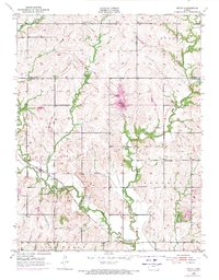
1952 Map of Grove
USGS Topo · Published 1971About this map
Soldier Creek and its many tributaries, including Little Soldier Creek and Dutch Creek, carve through the rolling Kansas landscape north of the Kansas River. The tiny settlement of Grove serves as a local anchor along the rail line, while a network of country schools like Forest Bluff Sch, Capitol View Sch, and Golden Rod Sch suggests a once-active rural school system serving the townships of Washington, Douglas, and Menoken. By the time of the 1970 photo revisions, the landscape shows significant changes, most notably the development of Shawnee County State Park and its central water feature. The map also records the transition of the rural education system, noting the Glen Valley Sch (Abandoned) in the southern reaches of the quadrangle. These details provide a clear look at the shifting priorities from small-scale family farming toward recreation and centralized infrastructure.
Find a feature on this map
19 named features on this map. Tap any name to fly to it.
Don’t see what you’re looking for? This feature index may not catch every label — zoom into the map to look around manually.
Map Details
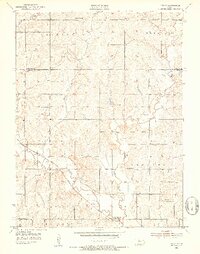
Editions of this 1952 Grove Map
4 editions found
Other maps of this area

1889 · Topeka
USGS Topo · 1:125,000

1894 · Topeka
USGS Topo · 1:125,000

1950 · Kansas City
USGS Topo · 1:250,000

1950 · Topeka
USGS Topo · 1:24,000

1951 · Topeka
USGS Topo · 1:24,000

1952 · Rossville
USGS Topo · 1:24,000

1952 · Silver Lake
USGS Topo · 1:24,000

1952 · Elmont
USGS Topo · 1:24,000

1952 · Grove
USGS Topo · 1:24,000
1952 · Willard
USGS Topo · 1:24,000