
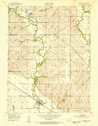
1952 Map of Rossville
USGS Topo · Published 1953About this map
Rossville and Delia serve as the primary hubs in this early 1950s survey of the rural landscape where Shawnee, Jackson, and Wabaunsee counties meet. The area is defined by the winding course of Cross Creek and Soldier Creek, which shaped the placement of local infrastructure like the Union Pacific railroad and various protective levee segments. This map is particularly valuable for its density of rural community institutions, capturing a network of local schools such as Stone School and Prairie Vale School before mid-century consolidation transformed the educational landscape.
Find a feature on this map
28 named features on this map. Tap any name to fly to it.
Don’t see what you’re looking for? This feature index may not catch every label — zoom into the map to look around manually.
Map Details
Editions of this 1952 Rossville Map
4 editions found
Other maps of this area

1889 · Wamego
USGS Topo · 1:125,000

1889 · Topeka
USGS Topo · 1:125,000

1894 · Topeka
USGS Topo · 1:125,000

1894 · Wamego
USGS Topo · 1:125,000

1950 · Kansas City
USGS Topo · 1:250,000

1952 · Silver Lake
USGS Topo · 1:24,000

1952 · Grove
USGS Topo · 1:24,000
1952 · Willard
USGS Topo · 1:24,000

1953 · Maple Hill
USGS Topo · 1:24,000

1953 · St Marys
USGS Topo · 1:24,000