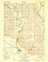
1952 Map of Rossville
USGS Topo · Published 1953About this map
Union Pacific rail lines anchor the small settlements of Rossville and Delia as they appeared in the early 1950s. This agricultural landscape in Shawnee County is defined by the winding paths of Cross Creek and Soldier Creek, which shaped the placement of local homesteads and infrastructure. An unusual concentration of rural education centers is documented here, including the Twin Rose Sch (Abndoned), Stone Sch, and Prairie Vale Sch, reflecting the historical density of school districts before regional consolidation. Cultural markers of the community's heritage are visible in the Bohemian Ch and Bohemian Cem, while prominent landforms like Peanaz Hill provided natural navigation points for residents of the Rossville and Washing Ton townships. The map also traces the county boundaries where Jackson and Wabaunsee counties meet the Shawnee line, often following the meanders of local waterways.
Find a feature on this map
30 named features on this map. Tap any name to fly to it.
Don’t see what you’re looking for? This feature index may not catch every label — zoom into the map to look around manually.
Map Details
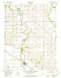
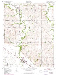
Editions of this 1952 Rossville Map
4 editions found
Other maps of this area

1889 · Wamego
USGS Topo · 1:125,000

1889 · Topeka
USGS Topo · 1:125,000

1894 · Topeka
USGS Topo · 1:125,000

1894 · Wamego
USGS Topo · 1:125,000

1950 · Kansas City
USGS Topo · 1:250,000

1952 · Rossville
USGS Topo · 1:24,000

1952 · Silver Lake
USGS Topo · 1:24,000

1952 · Grove
USGS Topo · 1:24,000
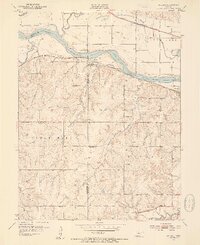
1952 · Willard
USGS Topo · 1:24,000

1953 · Maple Hill
USGS Topo · 1:24,000