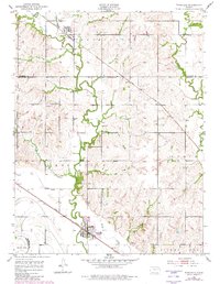
1952 Map of Rossville
USGS Topo · Published 1982About this map
Rossville sits along the Union Pacific rail line at the southern edge of this landscape, serving as a hub for the surrounding agricultural districts of Shawnee and Jackson counties. The terrain is defined by the winding course of Cross Creek and its many tributaries, including Snake Creek and Peanaz Creek, which carve through the elevations near Peanaz Hill. To the north, the small settlement of Delia marks another stop on the railroad, surrounded by the townships of Washington and Rossville. Evidence of early community life is found in the scattered burial grounds such as Bohemian Cem and Franklin Cem. The presence of a Quarry and a network of levees suggests a landscape managed for both resource extraction and flood control, typical of the fertile Kansas river valleys during the mid-twentieth century.
Find a feature on this map
24 named features on this map. Tap any name to fly to it.
Don’t see what you’re looking for? This feature index may not catch every label — zoom into the map to look around manually.
Map Details
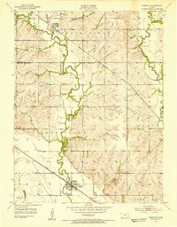
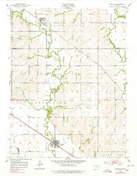
Editions of this 1952 Rossville Map
4 editions found
Other maps of this area

1889 · Wamego
USGS Topo · 1:125,000

1889 · Topeka
USGS Topo · 1:125,000

1894 · Topeka
USGS Topo · 1:125,000

1894 · Wamego
USGS Topo · 1:125,000

1950 · Kansas City
USGS Topo · 1:250,000

1952 · Rossville
USGS Topo · 1:24,000

1952 · Silver Lake
USGS Topo · 1:24,000

1952 · Grove
USGS Topo · 1:24,000
1952 · Willard
USGS Topo · 1:24,000

1953 · Maple Hill
USGS Topo · 1:24,000