
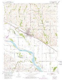
1953 Map of St Marys
USGS Topo · Published 1954About this map
St Marys serves as the focal point of this mid-century survey, situated at the intersection of the Union Pacific railroad and the northern banks of the Kansas River. The town's significance as an educational and cultural hub is anchored by the large St Marys Seminary complex and the proximity of institutional sites like Mt Calvary Cem. The surrounding landscape is a complex network of waterways, including Bourbonais Creek and Doyle Creek, which define the agricultural basins of Washington and Rossville townships.
Find a feature on this map
29 named features on this map. Tap any name to fly to it.
Don’t see what you’re looking for? This feature index may not catch every label — zoom into the map to look around manually.
Map Details
Editions of this 1953 St Marys Map
2 editions found
Other maps of this area

1889 · Wamego
USGS Topo · 1:125,000

1889 · Topeka
USGS Topo · 1:125,000

1894 · Topeka
USGS Topo · 1:125,000

1894 · Wamego
USGS Topo · 1:125,000

1950 · Kansas City
USGS Topo · 1:250,000

1952 · Rossville
USGS Topo · 1:24,000
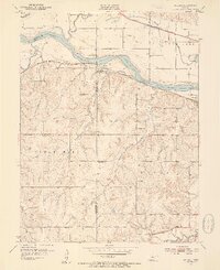
1952 · Willard
USGS Topo · 1:24,000

1953 · Maple Hill
USGS Topo · 1:24,000

1953 · Belvue
USGS Topo · 1:24,000

1954 · Kansas City
USGS Topo · 1:250,000