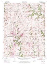
1952 Map of Elmont
USGS Topo · Published 1971About this map
The Pottawatomi Reservation Boundary bisects the western half of this landscape, marking a significant historical line across the undulating Kansas terrain. In the mid-20th century, the community of Elmont served as a local hub along the Chicago Rock Island and Pacific railroad, while the larger town of Hoyt occupied the northern edge of the survey.
Find a feature on this map
20 named features on this map. Tap any name to fly to it.
Don’t see what you’re looking for? This feature index may not catch every label — zoom into the map to look around manually.
Map Details
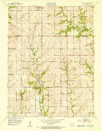
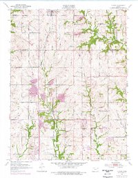
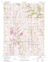
Editions of this 1952 Elmont Map
5 editions found
Other maps of this area

1889 · Topeka
USGS Topo · 1:125,000

1894 · Topeka
USGS Topo · 1:125,000

1950 · Kansas City
USGS Topo · 1:250,000

1950 · Topeka
USGS Topo · 1:24,000

1950 · Grantville
USGS Topo · 1:24,000

1951 · Grantville
USGS Topo · 1:24,000

1951 · Topeka
USGS Topo · 1:24,000

1952 · Silver Lake
USGS Topo · 1:24,000

1952 · Elmont
USGS Topo · 1:24,000

1952 · Grove
USGS Topo · 1:24,000