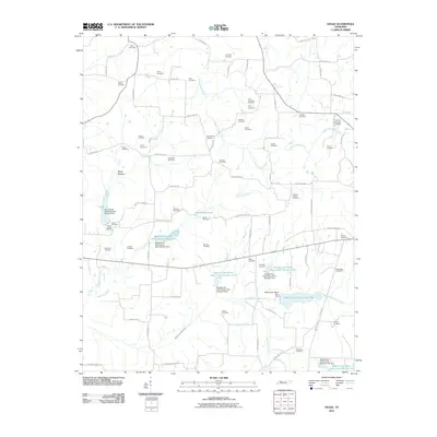
2010 Map of Osage
USGS Topo · Published 2010About this map
Family name cemeteries and small-scale water management define this portion of Henry County in the early 21st century. The landscape is characterized by a high density of burial grounds, such as Tyler-Compton Cemetery, New Boston Cemetery, and Oak Hill Cemetery, which serve as vital markers for local genealogical research. These sites are scattered across a terrain shaped by the Middle Fork Obion River and its various tributaries, including Walnut Fork Creek and Old Town Creek.
Find a feature on this map
86 named features on this map. Tap any name to fly to it.
Don’t see what you’re looking for? This feature index may not catch every label — zoom into the map to look around manually.
Map Details
Editions of this 2010 Osage Map
This is the sole edition of this map. No revisions or reprints were ever made.
Other maps of this area

1936 · Conyersville
USGS Topo · 1:24,000

1936 · Crossland
USGS Topo · 1:24,000

1936 · Mansfield
USGS Topo · 1:24,000

1936 · Paris
USGS Topo · 1:24,000

1950 · Osage
USGS Topo · 1:24,000

1950 · Paris
USGS Topo · 1:24,000

1950 · Mansfield
USGS Topo · 1:24,000

1950 · Puryear
USGS Topo · 1:24,000

1950 · Cottage Grove
USGS Topo · 1:24,000

1955 · Henry
USGS Topo · 1:24,000