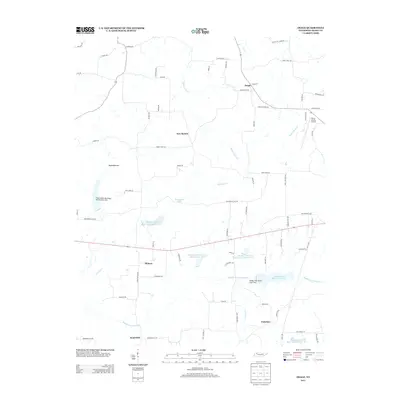
2013 Map of Osage
USGS Topo · Published 2013About this map
Osage and New Boston anchor the upper reaches of this West Tennessee landscape, where the drainage of Walnut Fork Cr and Old Town Cr shapes the rural layout. The map documents a heavily managed aquatic environment along the Middle Fork Obion River, defined by a series of numbered reservoirs including Middle Fork Obion River Lake Number Two and Middle Fork Obion Lake Five. These water control projects, such as Flood Water Retarding Dam Number One, illustrate the 21st-century infrastructure designed to regulate the river's flow through the low-lying Ward Bottom.
Find a feature on this map
74 named features on this map. Tap any name to fly to it.
Don’t see what you’re looking for? This feature index may not catch every label — zoom into the map to look around manually.
Map Details
Editions of this 2013 Osage Map
This is the sole edition of this map. No revisions or reprints were ever made.
Other maps of this area

1936 · Conyersville
USGS Topo · 1:24,000

1936 · Crossland
USGS Topo · 1:24,000

1936 · Mansfield
USGS Topo · 1:24,000

1936 · Paris
USGS Topo · 1:24,000

1950 · Osage
USGS Topo · 1:24,000

1950 · Paris
USGS Topo · 1:24,000

1950 · Mansfield
USGS Topo · 1:24,000

1950 · Puryear
USGS Topo · 1:24,000

1950 · Cottage Grove
USGS Topo · 1:24,000

1955 · Henry
USGS Topo · 1:24,000