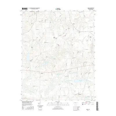
2016 Map of Osage
USGS Topo · Published 2016About this map
The Middle Fork Obion River defines the southern landscape of this Henry County region, where a series of flood-control basins including Middle Fork Obion River Lake Number Two and Lake Number Six manage the waterway's flow. This area is characterized by a high density of family and community burial grounds, such as Taylor Cem, Coley Cem, and the uniquely named Tyler-Compton Cem, reflecting generations of settlement near Cottage Grove and New Boston. In the northeast corner, the Henry County Airport stands as a modern landmark amidst the rural topography. The rural road network, featuring names like Seldom Seen Ln and Trading Post RD, connects small clusters like Osage and Palestine, while drainage features like Walnut Fork Cr and Old Town Cr carve through the agricultural landscape.
Find a feature on this map
99 named features on this map. Tap any name to fly to it.
Don’t see what you’re looking for? This feature index may not catch every label — zoom into the map to look around manually.
Map Details
Editions of this 2016 Osage Map
This is the sole edition of this map. No revisions or reprints were ever made.
Other maps of this area
1936 · Conyersville
USGS Topo · 1:24,000
1936 · Crossland
USGS Topo · 1:24,000
1936 · Mansfield
USGS Topo · 1:24,000
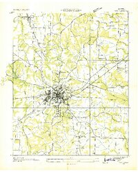
1936 · Paris
USGS Topo · 1:24,000
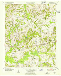
1950 · Osage
USGS Topo · 1:24,000
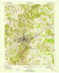
1950 · Paris
USGS Topo · 1:24,000
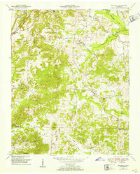
1950 · Mansfield
USGS Topo · 1:24,000
1950 · Puryear
USGS Topo · 1:24,000
1950 · Cottage Grove
USGS Topo · 1:24,000
1955 · Henry
USGS Topo · 1:24,000