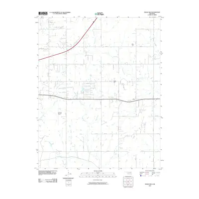
2010 Map of Osage Hills
USGS Topo · Published 2010About this map
Vann Cemetery and the rising elevation of Bald Knob define this portion of Rogers County, where the plains meet the more varied terrain of the eastern Oklahoma landscape. At this time, the area is characterized by a sprawling network of numbered rural roads and family-named routes like Helt Rd and Barbara Blvd, reflecting the steady residential and agricultural development surrounding the settlement of Osage Hills.
Find a feature on this map
32 named features on this map. Tap any name to fly to it.
Don’t see what you’re looking for? This feature index may not catch every label — zoom into the map to look around manually.
Map Details
Editions of this 2010 Osage Hills Map
This is the sole edition of this map. No revisions or reprints were ever made.
Other maps of this area

1896 · Pryor
USGS Topo · 1:125,000

1901 · Claremore
USGS Topo · 1:125,000

1901 · Pryor
USGS Topo · 1:125,000

1914 · Claremore
USGS Topo · 1:125,000

1916 · Claremore
USGS Topo · 1:125,000

1954 · Tulsa
USGS Topo · 1:250,000

1958 · Tulsa
USGS Topo · 1:250,000

1963 · Tulsa
USGS Topo · 1:250,000
1963 · Claremore
USGS Topo · 1:24,000
1963 · Inola
USGS Topo · 1:24,000