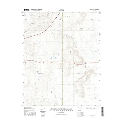
2016 Map of Osage Hills
USGS Topo · Published 2016About this map
Claremore and the surrounding ranch and prairie lands are captured here just east of the city center, where the landscape transitions into the wooded rises of the Osage Hills. The topography is defined by significant elevations such as Bald Knob, while the drainage of the region is managed by several winding waterways including Chouteau Cr and Seminole Cr. This 2016 survey documents the modern infrastructure of the Rogers County and Mayes County border, particularly the eastward expansion from the city along the Harmony Star corridor.
Find a feature on this map
42 named features on this map. Tap any name to fly to it.
Don’t see what you’re looking for? This feature index may not catch every label — zoom into the map to look around manually.
Map Details
Editions of this 2016 Osage Hills Map
This is the sole edition of this map. No revisions or reprints were ever made.
Other maps of this area

1896 · Pryor
USGS Topo · 1:125,000

1901 · Claremore
USGS Topo · 1:125,000

1901 · Pryor
USGS Topo · 1:125,000

1914 · Claremore
USGS Topo · 1:125,000

1916 · Claremore
USGS Topo · 1:125,000

1954 · Tulsa
USGS Topo · 1:250,000

1958 · Tulsa
USGS Topo · 1:250,000

1963 · Tulsa
USGS Topo · 1:250,000
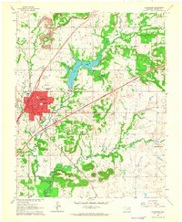
1963 · Claremore
USGS Topo · 1:24,000
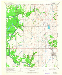
1963 · Inola
USGS Topo · 1:24,000