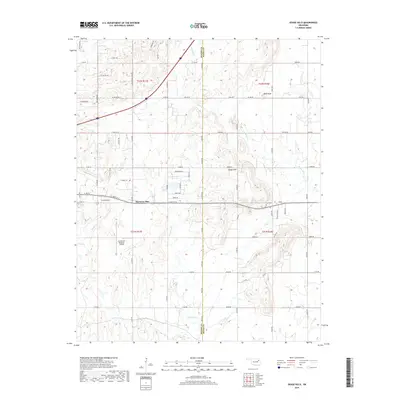
2019 Map of Osage Hills
USGS Topo · Published 2019About this map
Harmony Star and the Osage Hills settlement occupy the rolling landscape along the border of Rogers and Mayes counties in this 2019 survey. The area is defined by a transitional mix of rural residential development and open drainage basins, with Seminole Cr and Chouteau Cr carving through the terrain. Evidence of the region's aviation and transport infrastructure is clear with the inclusion of the Claremore Regional Airport and a dense network of numbered county roads like E 126th St N. Local history remains anchored in the landscape at the Vann Cem and near the prominence of Bald Knob. The map captures a moment in the modern evolution of these communities as they expand along the arterial corridors of northeastern Oklahoma.
Find a feature on this map
101 named features on this map. Tap any name to fly to it.
Don’t see what you’re looking for? This feature index may not catch every label — zoom into the map to look around manually.
Map Details
Editions of this 2019 Osage Hills Map
This is the sole edition of this map. No revisions or reprints were ever made.
Other maps of this area
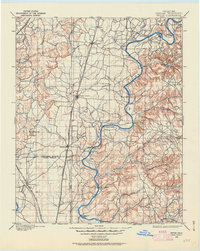
1896 · Pryor
USGS Topo · 1:125,000
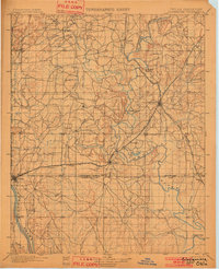
1901 · Claremore
USGS Topo · 1:125,000
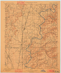
1901 · Pryor
USGS Topo · 1:125,000
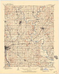
1914 · Claremore
USGS Topo · 1:125,000
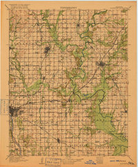
1916 · Claremore
USGS Topo · 1:125,000

1954 · Tulsa
USGS Topo · 1:250,000
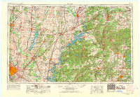
1958 · Tulsa
USGS Topo · 1:250,000
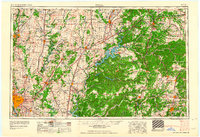
1963 · Tulsa
USGS Topo · 1:250,000
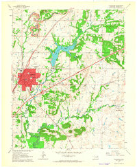
1963 · Claremore
USGS Topo · 1:24,000
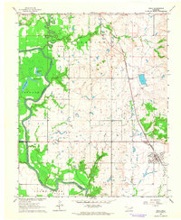
1963 · Inola
USGS Topo · 1:24,000