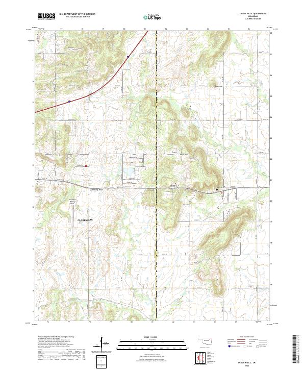
2022 Map of Osage Hills
USGS Topo · Published 2022About this map
Claremore serves as a primary reference point in this northeastern Oklahoma landscape, where the northern residential outskirts of the city meet the undulating terrain of the Osage Hills. The map details a transition from the structured street grid of Claremore and the Claremore Regional Airport into a more rural pattern of section lines and winding creek beds. Significant watercourses such as Seminole Cr, Panther Cr, and Chouteau Cr drain the higher elevations, including the prominent Bald Knob. Local history is anchored by sites like Harmony Star and Vann Cem, while modern institutional footprints are represented by the Northeast Technology Center Pryor. The extensive grid of county roads, including Ew 460 RD and E 126th ST N, reveals the contemporary infrastructure used to navigate these historically significant hills.
Find a feature on this map
68 named features on this map. Tap any name to fly to it.
Don’t see what you’re looking for? This feature index may not catch every label — zoom into the map to look around manually.
Map Details
Editions of this 2022 Osage Hills Map
This is the sole edition of this map. No revisions or reprints were ever made.
Other maps of this area

1896 · Pryor
USGS Topo · 1:125,000

1901 · Claremore
USGS Topo · 1:125,000

1901 · Pryor
USGS Topo · 1:125,000

1914 · Claremore
USGS Topo · 1:125,000

1916 · Claremore
USGS Topo · 1:125,000

1954 · Tulsa
USGS Topo · 1:250,000

1958 · Tulsa
USGS Topo · 1:250,000

1963 · Tulsa
USGS Topo · 1:250,000
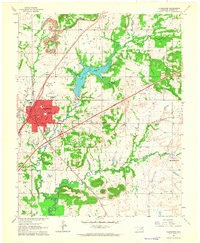
1963 · Claremore
USGS Topo · 1:24,000
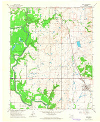
1963 · Inola
USGS Topo · 1:24,000