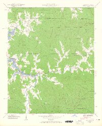
1941 Map of Osborn
USGS Topo · Published 1965About this map
Chatuge Lake dominates the western edge of this 1941 survey, with its elevation noted at 1928 feet following the development of the Tennessee Valley Authority’s reservoir system. The landscape transition is clear as the Hiwassee River feeds into the lake, winding past the community of Presley and the Macedonia Church. The settlement pattern follows the narrow valleys of Hightower Creek and Shooting Creek, where rural centers like Osborn and Visage served the agricultural families of Towns County.
Find a feature on this map
145 named features on this map. Tap any name to fly to it.
Don’t see what you’re looking for? This feature index may not catch every label — zoom into the map to look around manually.
Map Details
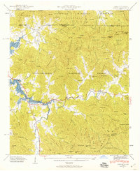
Editions of this 1941 Osborn Map
2 editions found
Other maps of this area

1886 · Dahlonega
USGS Topo · 1:125,000

1892 · Dahlonega
USGS Topo · 1:125,000

1896 · Dahlonega
USGS Topo · 1:125,000

1903 · Dahlonega
USGS Topo · 1:125,000

1935 · Osborn
USGS Topo · 1:24,000

1935 · Rainbow Springs
USGS Topo · 1:24,000

1935 · Shooting Creek
USGS Topo · 1:24,000

1935 · Wayah Bald
USGS Topo · 1:48,000

1935 · Hightower Bald
USGS Topo · 1:24,000

1935 · Tray Mountain
USGS Topo · 1:24,000