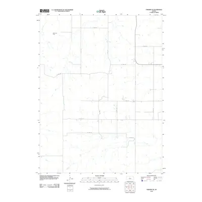
2010 Map of Osborne SE
USGS Topo · Published 2010About this map
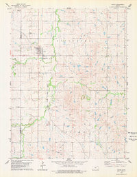
Medicine Peak rises as a prominent landmark in this section of Osborne County, overlooking a network of drainage systems that define the rural landscape. The area is characterized by the branching headwaters of several streams, including Twin Creek, East Twin Creek, and Center Twin Creek, which carve through the high plains. A rigid grid of section-line roads, such as W 160th Dr and S 35th Ave, facilitates access across the open country, reflecting the long-established township and range system. In the southern reaches, Carr Creek meanders eastward, further illustrating the importance of water management and topography in this agricultural region. This 2010 survey documentation provides a precise view of the rural infrastructure and natural hydrology before further modern development altered these traditional Kansas pathways.
Find a feature on this map
19 named features on this map. Tap any name to fly to it.
Don’t see what you’re looking for? This feature index may not catch every label — zoom into the map to look around manually.
Map Details
Editions of this 2010 Osborne SE Map
This is the sole edition of this map. No revisions or reprints were ever made.
Other maps of this area
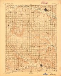
1894 · Beloit
USGS Topo · 1:125,000
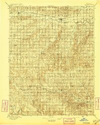
1896 · Osborne
USGS Topo · 1:125,000
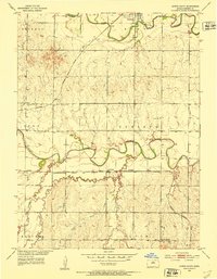
1953 · Downs South
USGS Topo · 1:24,000
1953 · Waconda Springs
USGS Topo · 1:24,000
1953 · Osborne
USGS Topo · 1:24,000

1955 · Beloit
USGS Topo · 1:250,000

1959 · Beloit
USGS Topo · 1:250,000
1967 · Hunter
USGS Topo · 1:24,000
1978 · Osborne SW
USGS Topo · 1:24,000
1978 · Tipton
USGS Topo · 1:24,000