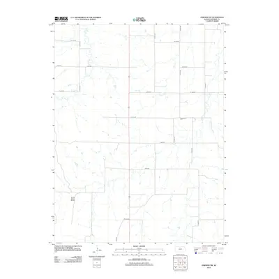
2012 Map of Osborne SW
USGS Topo · Published 2012About this map
Sunny Slope Mound rises above the rural landscape of Osborne County in this 2012 survey, which documents the section-line road network and hydrologic patterns of the Kansas plains. The terrain is defined by the drainage basins of Covert Cr, Indian Cr, and Twin Cr, showing how water moves through this agricultural territory. Genealogists and local historians can pinpoint the Zimmerman Cem, situated along the intersection of W 170th Dr and S 90th Ave. The map reflects a highly organized rural infrastructure, dominated by gravel roads and state routes like Co Hwy-671 and Co Hwy-404, which facilitate movement between the dispersed farmsteads of the region.
Find a feature on this map
23 named features on this map. Tap any name to fly to it.
Don’t see what you’re looking for? This feature index may not catch every label — zoom into the map to look around manually.
Map Details
Editions of this 2012 Osborne SW Map
This is the sole edition of this map. No revisions or reprints were ever made.
Other maps of this area

1896 · Osborne
USGS Topo · 1:125,000

1953 · Downs South
USGS Topo · 1:24,000

1953 · Bloomington
USGS Topo · 1:24,000

1953 · Osborne
USGS Topo · 1:24,000

1955 · Beloit
USGS Topo · 1:250,000

1959 · Beloit
USGS Topo · 1:250,000

1978 · Osborne SW
USGS Topo · 1:24,000
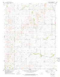
1978 · Osborne SE
USGS Topo · 1:24,000
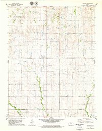
1978 · Vincent
USGS Topo · 1:24,000
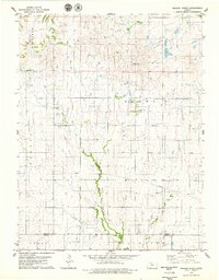
1978 · Meades Ranch
USGS Topo · 1:24,000