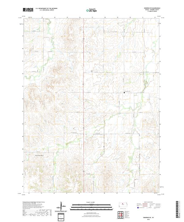
2022 Map of Osborne SW
USGS Topo · Published 2022About this map
Sunny Slope Mound rises as a distinct landmark in this rural stretch of Osborne County, characterizing the dissected plains of central Kansas. This 2022 survey captures the modern agrarian landscape, where section-line roads like W 170th Dr and Co Road 408 Dr partition the territory. The drainage patterns of Covert Cr, Indian Cr, and Twin Cr dictate the topography, with their winding paths creating the varied elevations seen throughout the township.
Find a feature on this map
18 named features on this map. Tap any name to fly to it.
Don’t see what you’re looking for? This feature index may not catch every label — zoom into the map to look around manually.
Map Details
Editions of this 2022 Osborne SW Map
This is the sole edition of this map. No revisions or reprints were ever made.
Other maps of this area

1896 · Osborne
USGS Topo · 1:125,000

1953 · Downs South
USGS Topo · 1:24,000

1953 · Bloomington
USGS Topo · 1:24,000

1953 · Osborne
USGS Topo · 1:24,000

1955 · Beloit
USGS Topo · 1:250,000

1959 · Beloit
USGS Topo · 1:250,000

1978 · Osborne SW
USGS Topo · 1:24,000
1978 · Osborne SE
USGS Topo · 1:24,000
1978 · Vincent
USGS Topo · 1:24,000
1978 · Meades Ranch
USGS Topo · 1:24,000