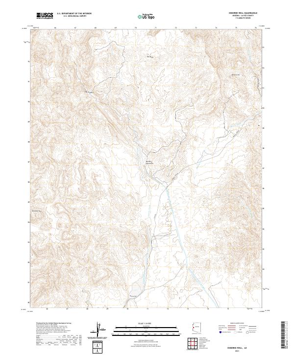
2021 Map of Osborne Well
USGS Topo · Published 2021About this map
The Buckskin Mountains dominate this arid landscape, where the seasonal drainage of Osborne Wash and Mineral Wash carves through the desert floor. The namesake Osborne Well marks a critical water point in a region defined by high-elevation landforms like Gibraltar Mtn, Mineral Hill, and the prominent shelf of The Mesa. The modern infrastructure of the Central Arizona Project Aqueduct cuts a distinct line across the southeastern terrain, contrasting with the primitive access of Mineral Mine Rd and Shea Rd. This survey captures the intersection of natural geologic features such as The Jumpoff with the heavy engineering required to move water through the Arizona desert, offering a clear record of the area's resource-driven topography and rural routes.
Find a feature on this map
17 named features on this map. Tap any name to fly to it.
Don’t see what you’re looking for? This feature index may not catch every label — zoom into the map to look around manually.
Map Details
Editions of this 2021 Osborne Well Map
This is the sole edition of this map. No revisions or reprints were ever made.
Other maps of this area

1911 · Parker
USGS Topo · 1:125,000

1923 · Signal
USGS Topo · 1:250,000

1942 · Signal
USGS Topo · 1:250,000

1943 · Giers Basin
USGS Topo · 1:62,500

1950 · Parker Dam Area
USGS Topo · 1:62,500

1950 · Prescott
USGS Topo · 1:250,000

1954 · Needles
USGS Topo · 1:250,000

1954 · Prescott
USGS Topo · 1:250,000

1956 · Needles
USGS Topo · 1:250,000

1958 · Prescott
USGS Topo · 1:250,000