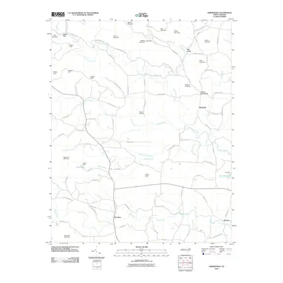
2010 Map of Osbornville
USGS Topo · Published 2010About this map
Hunting Creek and Rocky Creek drain a landscape of ridges and knobs in this Iredell County region, where the rural settlement pattern is defined by family-named landmarks and historical community hubs. Small crossroads like Osbornville, New Castle, and Somers Crossroads anchor the road network, while smaller hamlets like New Hope and Jennings sit near the southern creeks. The names printed here reflect a deep-rooted local history, with references to early community infrastructure like Somers School Rd and Union Baptist Church Rd.
Find a feature on this map
90 named features on this map. Tap any name to fly to it.
Don’t see what you’re looking for? This feature index may not catch every label — zoom into the map to look around manually.
Map Details
Editions of this 2010 Osbornville Map
This is the sole edition of this map. No revisions or reprints were ever made.
Other maps of this area

1889 · Wilkesboro
USGS Topo · 1:125,000

1891 · Wilkesboro
USGS Topo · 1:125,000
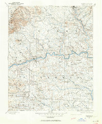
1891 · Yadkinville
USGS Topo · 1:125,000

1893 · Statesville
USGS Topo · 1:125,000
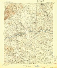
1893 · Yadkinville
USGS Topo · 1:125,000

1895 · Hickory
USGS Topo · 1:125,000

1953 · Charlotte
USGS Topo · 1:250,000

1953 · Winston-Salem
USGS Topo · 1:250,000

1954 · Charlotte
USGS Topo · 1:250,000

1955 · Winston-Salem
USGS Topo · 1:250,000