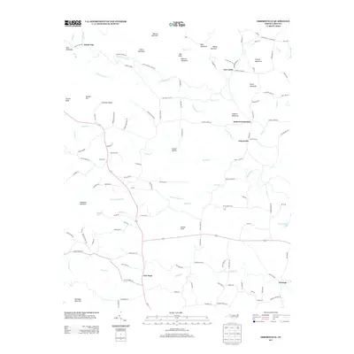
2013 Map of Osbornville
USGS Topo · Published 2013About this map
Osbornville and the surrounding Iredell County countryside are defined by a complex network of ridges and watercourses in this 2013 survey. The landscape is punctuated by numerous family-named peaks such as Harris Mountain, Roberts Mountain, and Bailey Mountain, which direct the flow of Little Hunting Cr and Hunting Cr toward the south and east. Smaller communities and rural junctions like Somers Crossroads, New Castle, and Windy Gap are connected by narrow winding roads that follow the natural contours of the terrain.
Find a feature on this map
124 named features on this map. Tap any name to fly to it.
Don’t see what you’re looking for? This feature index may not catch every label — zoom into the map to look around manually.
Map Details
Editions of this 2013 Osbornville Map
This is the sole edition of this map. No revisions or reprints were ever made.
Other maps of this area

1889 · Wilkesboro
USGS Topo · 1:125,000

1891 · Wilkesboro
USGS Topo · 1:125,000

1891 · Yadkinville
USGS Topo · 1:125,000

1893 · Statesville
USGS Topo · 1:125,000

1893 · Yadkinville
USGS Topo · 1:125,000

1895 · Hickory
USGS Topo · 1:125,000

1953 · Charlotte
USGS Topo · 1:250,000

1953 · Winston-Salem
USGS Topo · 1:250,000

1954 · Charlotte
USGS Topo · 1:250,000

1955 · Winston-Salem
USGS Topo · 1:250,000