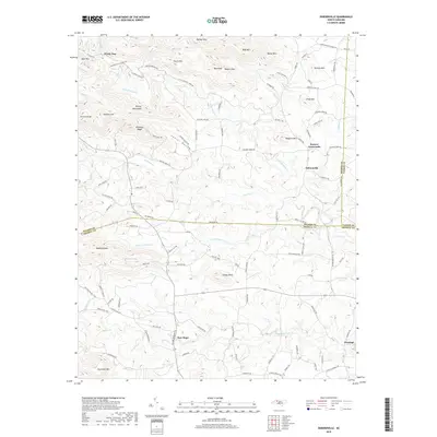
2019 Map of Osbornville
USGS Topo · Published 2019About this map
The Brushy Mountains dominate the northern landscape of this region where Wilkes, Iredell, and Yadkin counties converge. This 2019 survey captures a rural landscape defined by narrow ridges and creek bottoms, with small community centers like Osbornville and Somers Crossroads serving as local anchors. The map reveals a dense network of family-named roads and landmarks, such as Jarvis Store Rd and Somers School Rd, which indicate the long-standing agricultural and social structures of the Piedmont. In the south, the settlement of New Hope sits near the headwaters of Rocky Creek, while the northern reaches rise toward peaks like Harris Mtn and Wallace Mtn. Water features such as Mathis Lake and Cass Fishing Lake provide localized recreational points within a terrain heavily dissected by Hunting Cr and its many tributaries, including Little Hunting Cr and Pasture Bottom Cr.
Find a feature on this map
120 named features on this map. Tap any name to fly to it.
Don’t see what you’re looking for? This feature index may not catch every label — zoom into the map to look around manually.
Map Details
Editions of this 2019 Osbornville Map
This is the sole edition of this map. No revisions or reprints were ever made.
Other maps of this area

1889 · Wilkesboro
USGS Topo · 1:125,000

1891 · Wilkesboro
USGS Topo · 1:125,000

1891 · Yadkinville
USGS Topo · 1:125,000

1893 · Statesville
USGS Topo · 1:125,000

1893 · Yadkinville
USGS Topo · 1:125,000

1895 · Hickory
USGS Topo · 1:125,000

1953 · Charlotte
USGS Topo · 1:250,000

1953 · Winston-Salem
USGS Topo · 1:250,000

1954 · Charlotte
USGS Topo · 1:250,000

1955 · Winston-Salem
USGS Topo · 1:250,000