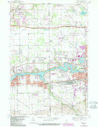
1969 Map of Osceola
USGS Topo · Published 1987About this map
The St Joseph River anchors the landscape between Mishawaka and Elkhart in this 1969 Indiana survey. At the center of the sheet, Osceola sits along the Conrail rail line, serving as a focal point for the surrounding Penn and Baugo townships. The map documents a period of suburban expansion into the former agricultural fields of Harris and Cleveland townships, as seen in the residential clusters at Pleasant Valley and Granger.
Find a feature on this map
58 named features on this map. Tap any name to fly to it.
Don’t see what you’re looking for? This feature index may not catch every label — zoom into the map to look around manually.
Map Details
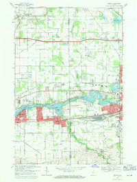
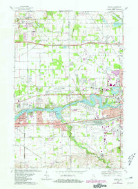
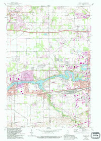
Editions of this 1969 Osceola Map
4 editions found
Other maps of this area

1945 · Cassopolis
USGS Topo · 1:62,500

1947 · Cassopolis
USGS Topo · 1:62,500

1948 · Vandalia
USGS Topo · 1:62,500

1949 · Vandalia
USGS Topo · 1:62,500

1953 · Fort Wayne
USGS Topo · 1:250,000

1953 · Chicago
USGS Topo · 1:250,000

1956 · Fort Wayne
USGS Topo · 1:250,000

1957 · Chicago
USGS Topo · 1:250,000

1958 · South Bend East
USGS Topo · 1:24,000

1958 · Osceola
USGS Topo · 1:24,000