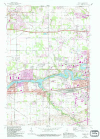
1969 Map of Osceola
USGS Topo · Published 1994About this map
The St Joseph River carves a winding path through the center of this landscape, creating a distinct boundary between the growing residential areas of Mishawaka and the town of Osceola. This late-century survey reveals a corridor defined by heavy transit and industry, where the Penn Central and Norfolk and Western railroads run parallel to historic thoroughfares like Lincoln Way East. The development of the Indiana Toll Road in the north and the presence of the Elkhart Municipal Airport signal the region's mid-century expansion.
Find a feature on this map
57 named features on this map. Tap any name to fly to it.
Don’t see what you’re looking for? This feature index may not catch every label — zoom into the map to look around manually.
Map Details
Editions of this 1969 Osceola Map
4 editions found
Other maps of this area

1945 · Cassopolis
USGS Topo · 1:62,500

1947 · Cassopolis
USGS Topo · 1:62,500

1948 · Vandalia
USGS Topo · 1:62,500

1949 · Vandalia
USGS Topo · 1:62,500

1953 · Fort Wayne
USGS Topo · 1:250,000

1953 · Chicago
USGS Topo · 1:250,000

1956 · Fort Wayne
USGS Topo · 1:250,000

1957 · Chicago
USGS Topo · 1:250,000

1958 · South Bend East
USGS Topo · 1:24,000

1958 · Osceola
USGS Topo · 1:24,000