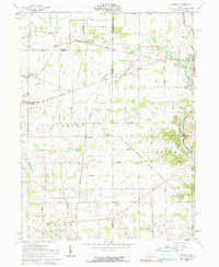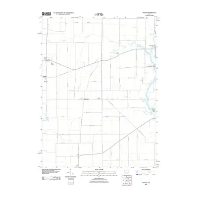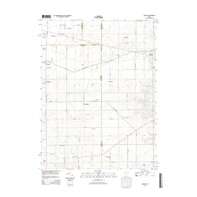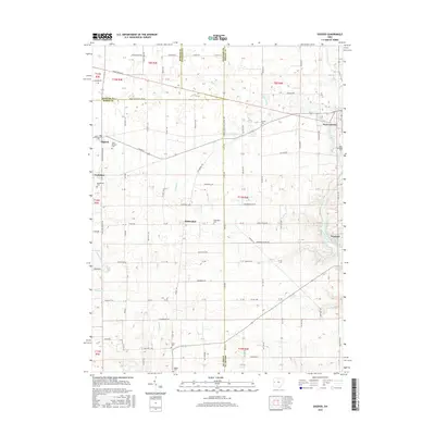
2023 Map of Osgood
USGS Topo · Published 2023About this map
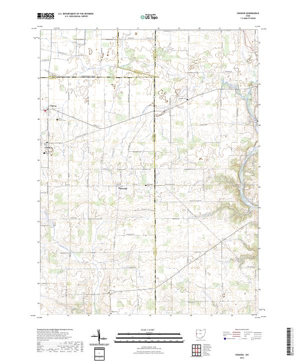
Osgood and the neighboring settlements of Yorkshire and Willowdell anchor this western Ohio landscape where the borders of Darke, Mercer, Auglaize, and Shelby counties converge. The region is defined by a dense network of country roads like Darke-Mercer Co Line Rd and Fortman Rd, which connect long-established farmsteads and numerous small family or parish burial grounds. Significant genealogical markers are found throughout, including Saint Martins Cem, Walkup Cem, and Mendenhall Cem.
Find a feature on this map
94 named features on this map. Tap any name to fly to it.
Don’t see what you’re looking for? This feature index may not catch every label — zoom into the map to look around manually.
Map Details
Editions of this 2023 Osgood Map
This is the sole edition of this map. No revisions or reprints were ever made.
Historical Maps of Fort Loramie Through Time
6 maps found